-
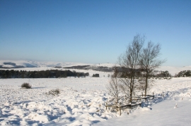
Wintry scene on Longshaw Estate
-
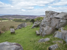
Stone seat, Longshaw Estate
Wintry scene on Longshaw Estate
Stone seat, Longshaw Estate
Location and coordinates are for the approximate centre of Robin Hood's Well within this administrative area. Geographic features and populated places may cross administrative borders.