-
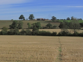
On Jurassic Way,- View NE across fields towards Bates Farm near Staverton
-
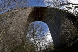
Catesby Viaduct
On Jurassic Way,- View NE across fields towards Bates Farm near Staverton
Catesby Viaduct
Location and coordinates are for the approximate centre of River Leam within this administrative area. Geographic features and populated places may cross administrative borders.