-
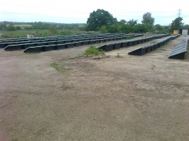
Solar panels at Paynsley chicken farm
-
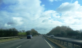
A50 where it crosses the track to Upper Newton Farm
Solar panels at Paynsley chicken farm
A50 where it crosses the track to Upper Newton Farm
Location and coordinates are for the approximate centre of River Blithe within this administrative area. Geographic features and populated places may cross administrative borders.