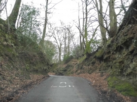
Rectory Copse, Surrey

« Gazetteer Entry
Upload Photo

Rectory Copse, Surrey

  • Parish/Community: Abinger
  • District/Borough: Mole Valley
  • County: Surrey
  • Region: South East
  • Category: Landcover
  • Type: Forest or Wood
  • Latitude/Longitude: 51°12'17"N 0°24'5"W
  • Eastings/Northings: 511769, 146292
  • OS Grid: TQ117462
  • Mapcode Local: GBR HGT.F9X
  • Mapcode Global: VHFVR.0Z36

Location and coordinates are for the approximate centre of Rectory Copse within this administrative area. Geographic features and populated places may cross administrative borders.

BritishPlaceNames.uk is a Good Stuff website.