-
Blackdon Hill
-

Steel Bridge Farmhouse
Blackdon Hill
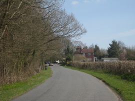
Steel Bridge Farmhouse
Location and coordinates are for the approximate centre of Rainbow Shaw within this administrative area. Geographic features and populated places may cross administrative borders.