-
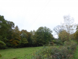
Valley of Fordland Brook
-
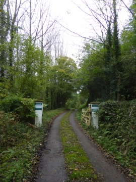
Private road to Fordland Farm
Valley of Fordland Brook
Private road to Fordland Farm
Location and coordinates are for the approximate centre of Rainbow Brake within this administrative area. Geographic features and populated places may cross administrative borders.