-

The Crown and Falcon pub, Puckeridge
-
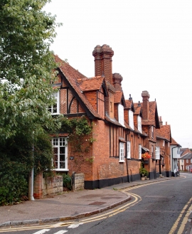
Row of houses,Puckeridge
The Crown and Falcon pub, Puckeridge
Row of houses,Puckeridge
Location and coordinates are for the approximate centre of Poor's Land within this administrative area. Geographic features and populated places may cross administrative borders.