-
Route of new Water Main
-
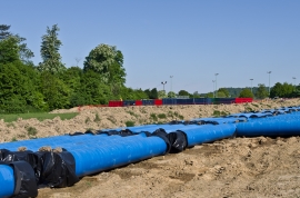
Water mains pipes
Route of new Water Main
Water mains pipes
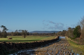
Location and coordinates are for the approximate centre of Pond Field Plantation within this administrative area. Geographic features and populated places may cross administrative borders.