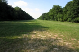
Point Copse, Buckinghamshire

« Gazetteer Entry
Upload Photo

Point Copse, Buckinghamshire

  • Parish/Community: Biddlesden
  • District/Borough: Aylesbury Vale
  • County: Buckinghamshire
  • Region: South East
  • Category: Landcover
  • Type: Forest or Wood
  • Latitude/Longitude: 52°3'27"N 1°1'17"W
  • Eastings/Northings: 467191, 240370
  • OS Grid: SP671403
  • Mapcode Local: GBR 9WX.SPP
  • Mapcode Global: VHDSW.7JVX

Location and coordinates are for the approximate centre of Point Copse within this administrative area. Geographic features and populated places may cross administrative borders.

BritishPlaceNames.uk is a Good Stuff website.