-
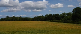
Hall Wood, Kirklevington
-
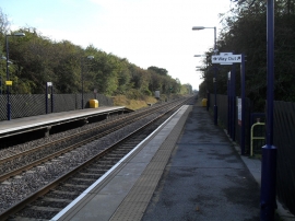
Yarm station looking southwards
Hall Wood, Kirklevington
Yarm station looking southwards
Location and coordinates are for the approximate centre of Pit Wood within this administrative area. Geographic features and populated places may cross administrative borders.