-
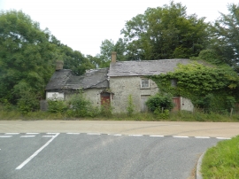
Derelict cottage, Penrhiwpal
-
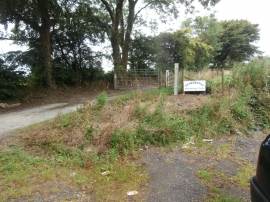
Gate and track to Penrhiwpal Shooting Club
Derelict cottage, Penrhiwpal
Gate and track to Penrhiwpal Shooting Club
Other current and historical names
Location and coordinates are for the approximate centre of Penrhiw-pâl within this administrative area. Geographic features and populated places may cross administrative borders.