-
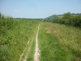
Ridgeway Path near Lewknor
-
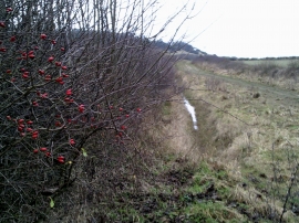
Rosehips to one side of the Ridgeway
Ridgeway Path near Lewknor
Rosehips to one side of the Ridgeway
Location and coordinates are for the approximate centre of Old Cricketground Plantation within this administrative area. Geographic features and populated places may cross administrative borders.