-

Quarry Entrance
-
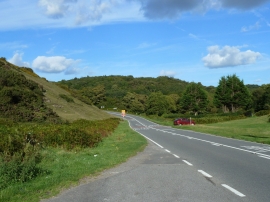
Road scene, Pant St Bride's/Pant Saint y Brid
Quarry Entrance
Road scene, Pant St Bride's/Pant Saint y Brid
Location and coordinates are for the approximate centre of Old Castle Down within this administrative area. Geographic features and populated places may cross administrative borders.