-
Pendle Way at the foot of Boar Clough
-

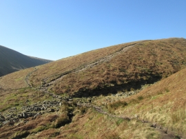
The bottom of Boar Clough
Pendle Way at the foot of Boar Clough
The bottom of Boar Clough
Location and coordinates are for the approximate centre of Ogden Clough within this administrative area. Geographic features and populated places may cross administrative borders.