-
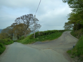
Track to Cletterwood
-
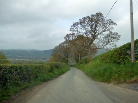
Steep hill to Buttington
Track to Cletterwood
Steep hill to Buttington
Location and coordinates are for the approximate centre of Oak Plantation within this administrative area. Geographic features and populated places may cross administrative borders.