-
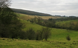
Valley of Millington Beck
-
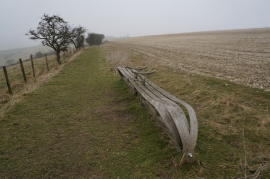
Seat on the Wolds Way above Millington
Valley of Millington Beck
Seat on the Wolds Way above Millington
Location and coordinates are for the approximate centre of North Plantn within this administrative area. Geographic features and populated places may cross administrative borders.