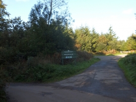
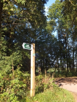
North Down Plantation, Devon

« Gazetteer Entry
Upload Photo

North Down Plantation, Devon

  • Parish/Community: Winkleigh
  • District/Borough: Mid Devon
  • County: Devon
  • Region: South West
  • Category: Landcover
  • Type: Forest or Wood
  • Latitude/Longitude: 50°53'26"N 3°53'23"W
  • Eastings/Northings: 267176, 111824
  • OS Grid: SS671118
  • Mapcode Local: GBR KZ.S6D3
  • Mapcode Global: FRA 26RR.6DM

Location and coordinates are for the approximate centre of North Down Plantation within this administrative area. Geographic features and populated places may cross administrative borders.

BritishPlaceNames.uk is a Good Stuff website.