-
Bridleway waymarker to branch away from driveway at Newnham's Wood
-
Bridleway from Birchgrove Road passes Newnham's Wood
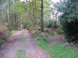
Bridleway waymarker to branch away from driveway at Newnham's Wood
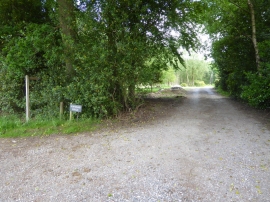
Bridleway from Birchgrove Road passes Newnham's Wood
Location and coordinates are for the approximate centre of Newnham's Wood within this administrative area. Geographic features and populated places may cross administrative borders.