-
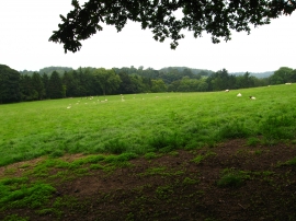
Grazing field from the Llwybr Maelor Way
-

On the Llwybr Maelor Way
Grazing field from the Llwybr Maelor Way
On the Llwybr Maelor Way
Location and coordinates are for the approximate centre of New Planting within this administrative area. Geographic features and populated places may cross administrative borders.