-
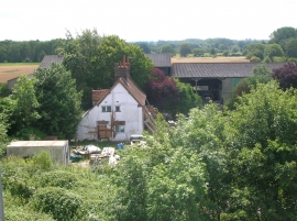
Upperwood Farm, Cutbush Lane, Shinfield
-

M4 bridge, south of Reading
Upperwood Farm, Cutbush Lane, Shinfield
M4 bridge, south of Reading
Location and coordinates are for the approximate centre of New Covert within this administrative area. Geographic features and populated places may cross administrative borders.