-
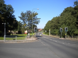
Looking towards the Dip, Clifton
-
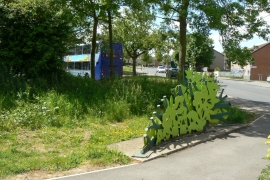
Artwork at Nobel Road
Looking towards the Dip, Clifton
Artwork at Nobel Road
Location and coordinates are for the approximate centre of New Close Plantation within this administrative area. Geographic features and populated places may cross administrative borders.