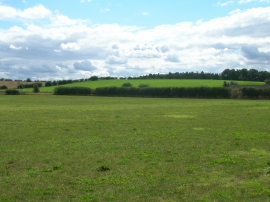
Neale's Covert, Nottinghamshire

« Gazetteer Entry
Upload Photo

Neale's Covert, Nottinghamshire

  • Parish/Community: Scrooby
  • District/Borough: Bassetlaw
  • County: Nottinghamshire
  • Region: East Midlands
  • Category: Landcover
  • Type: Forest or Wood
  • Latitude/Longitude: 53°24'26"N 1°1'52"W
  • Eastings/Northings: 464500, 390500
  • OS Grid: SK645905
  • Mapcode Local: GBR PY71.J8
  • Mapcode Global: WHFFV.4M66

Location and coordinates are for the approximate centre of Neale's Covert within this administrative area. Geographic features and populated places may cross administrative borders.

BritishPlaceNames.uk is a Good Stuff website.