-
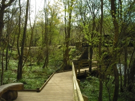
Boardwalk, The Dingle
-
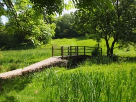
Footbridge, Afon Cefni
Boardwalk, The Dingle
Footbridge, Afon Cefni
Location and coordinates are for the approximate centre of Nant y Pandy within this administrative area. Geographic features and populated places may cross administrative borders.