-

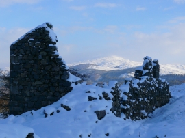
Ruined buildings at Cefn Coch Mine
-
Adfeilion mwynfeydd / Mine ruins
Ruined buildings at Cefn Coch Mine
Adfeilion mwynfeydd / Mine ruins
Location and coordinates are for the approximate centre of Nant Las within this administrative area. Geographic features and populated places may cross administrative borders.