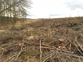
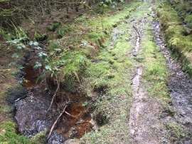
Nant Hir, Powys

« Gazetteer Entry
Upload Photo

Nant Hir, Powys

  • Parish/Community: Ystradfellte
  • Unitary Authority: Powys
  • Region: Wales
  • Category: Water Feature
  • Type: Other Water Feature
  • Latitude/Longitude: 51°46'55"N 3°37'3"W
  • Eastings/Northings: 288500, 210500
  • OS Grid: SN885105
  • Mapcode Local: GBR YC.YZ4Q
  • Mapcode Global: VH5G5.7GTR

Location and coordinates are for the approximate centre of Nant Hir within this administrative area. Geographic features and populated places may cross administrative borders.

BritishPlaceNames.uk is a Good Stuff website.