-
Cattle grid above the Manifold Valley
-

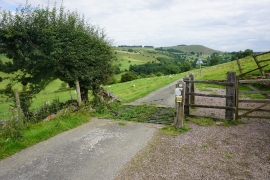
Cattle grid near Rushley
Cattle grid above the Manifold Valley
Cattle grid near Rushley
Location and coordinates are for the approximate centre of Musden Wood within this administrative area. Geographic features and populated places may cross administrative borders.