-

Oakford Lane, 3
-
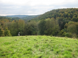
A steep hillside climb up above Motcombe Wood
Oakford Lane, 3
A steep hillside climb up above Motcombe Wood
Location and coordinates are for the approximate centre of Motcoombe Wood within this administrative area. Geographic features and populated places may cross administrative borders.