-
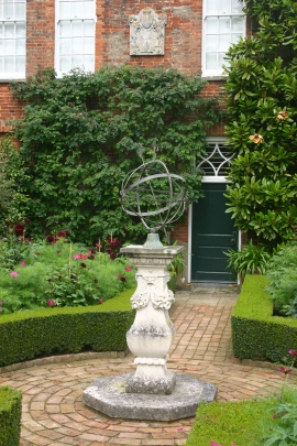
Cottesbrooke Hall
-
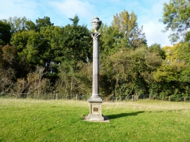
Cottesbrooke Monument
Cottesbrooke Hall
Cottesbrooke Monument
Location and coordinates are for the approximate centre of Moss Hall Spinney within this administrative area. Geographic features and populated places may cross administrative borders.