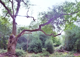
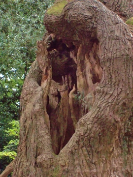
Middle Pond, Buckinghamshire

« Gazetteer Entry
Upload Photo

Middle Pond, Buckinghamshire

  • Built-Up Area: Slough
  • Parish/Community: Burnham
  • District/Borough: South Bucks
  • County: Buckinghamshire
  • Region: South East
  • Category: Water Feature
  • Type: Inland Water
  • Latitude/Longitude: 51°33'7"N 0°37'52"W
  • Eastings/Northings: 494996, 184585
  • OS Grid: SU949845
  • Mapcode Local: GBR F7L.P6V
  • Mapcode Global: VHFT2.07MX

Location and coordinates are for the approximate centre of Middle Pond within this administrative area. Geographic features and populated places may cross administrative borders.

BritishPlaceNames.uk is a Good Stuff website.