-
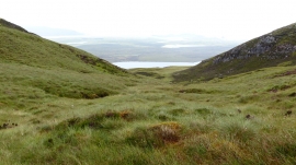
Gully below Meall Meadhonach by Durness
-

High level lochan
Gully below Meall Meadhonach by Durness
High level lochan
Location and coordinates are for the approximate centre of Meall Meadhonach within this administrative area. Geographic features and populated places may cross administrative borders.