-
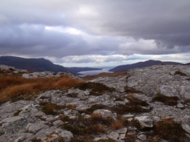
Summit area of Meall an Duibhe above Dundonell
-
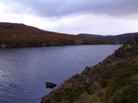
Knoll on east shore of Meall an Duibhe loch above Dundonell
Summit area of Meall an Duibhe above Dundonell
Knoll on east shore of Meall an Duibhe loch above Dundonell
Location and coordinates are for the approximate centre of Meall an Duibhe within this administrative area. Geographic features and populated places may cross administrative borders.