-
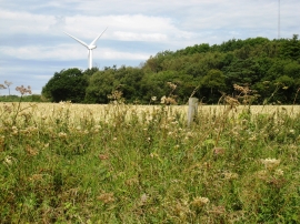
View towards Lumpley's Covert
-
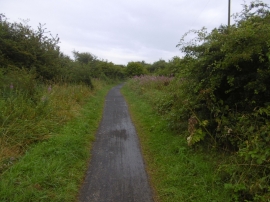
Castle Eden Walkway
View towards Lumpley's Covert
Castle Eden Walkway
Location and coordinates are for the approximate centre of Lumpley's Covert within this administrative area. Geographic features and populated places may cross administrative borders.