-
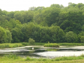
Binsted, Fish Pond
-
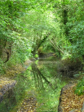
BOAT by Binsted
Binsted, Fish Pond
BOAT by Binsted
Location and coordinates are for the approximate centre of Ludcombe Copse within this administrative area. Geographic features and populated places may cross administrative borders.