-
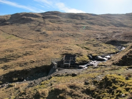
Small Dam on Lubchurran Burn
-
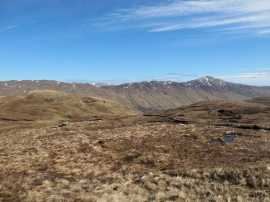
View North Over Glen Lochay
Small Dam on Lubchurran Burn
View North Over Glen Lochay
Location and coordinates are for the approximate centre of Lubchurran Burn within this administrative area. Geographic features and populated places may cross administrative borders.