-

Mile Post near Lowick
-
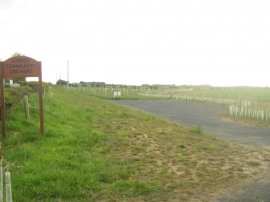
Lowick Community Orchard
Mile Post near Lowick
Lowick Community Orchard
Location and coordinates are for the approximate centre of The Low within this administrative area. Geographic features and populated places may cross administrative borders.