-
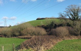
Torr Brook valley near Morecombe Farm
-

Farm buildings near Hendham House
Torr Brook valley near Morecombe Farm
Farm buildings near Hendham House
Location and coordinates are for the approximate centre of Lowerdale Copse within this administrative area. Geographic features and populated places may cross administrative borders.