-
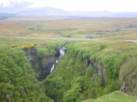
Lealt waterfall
-

Lealt Falls and the Trotternish Ridge
Lealt waterfall
Lealt Falls and the Trotternish Ridge
Location and coordinates are for the approximate centre of Lower Tote within this administrative area. Geographic features and populated places may cross administrative borders.