-

Fishing lake at Boat Lane Methley
-
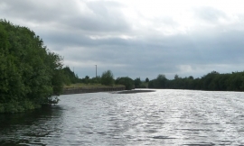
The 'new' course of the River Aire, looking upstream
Fishing lake at Boat Lane Methley
The 'new' course of the River Aire, looking upstream
Other current and historical names
Location and coordinates are for the approximate centre of Lower Mickletown within this administrative area. Geographic features and populated places may cross administrative borders.