-

Hedge near Discove with Triangulation Pillar
-
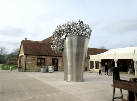
Hauser & Wirth Gallery at Durslade Farm
Hedge near Discove with Triangulation Pillar
Hauser & Wirth Gallery at Durslade Farm
Location and coordinates are for the approximate centre of Lower Godminster Wood within this administrative area. Geographic features and populated places may cross administrative borders.