-
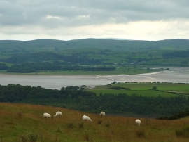
Sheep on How Barrow
-
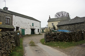
Howbarrow Farm
Sheep on How Barrow
Howbarrow Farm
Location and coordinates are for the approximate centre of Low Field Wood within this administrative area. Geographic features and populated places may cross administrative borders.