-
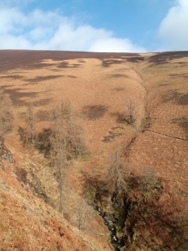
Groove of minor stream joining Whit Beck
-
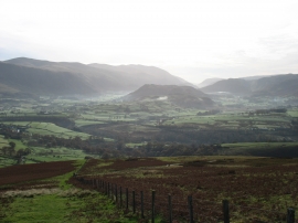
The southern slopes of Lonscale Fell
Groove of minor stream joining Whit Beck
The southern slopes of Lonscale Fell
Location and coordinates are for the approximate centre of Lonscale Fell within this administrative area. Geographic features and populated places may cross administrative borders.