-

Tesco fiiling station in Hartlepool
-
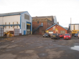
Industrial premises off Burn Road
Tesco fiiling station in Hartlepool
Industrial premises off Burn Road
Location and coordinates are for the approximate centre of Longhill within this administrative area. Geographic features and populated places may cross administrative borders.