-
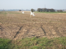
Very basic bird scarers
-
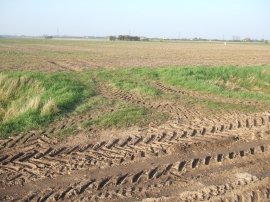
Tyre marks on March Lane
Very basic bird scarers
Tyre marks on March Lane
Location and coordinates are for the approximate centre of Long Swine Holme Field within this administrative area. Geographic features and populated places may cross administrative borders.