-

Bridleway by autumn trees
-

Bridleway by Longmoor Bog looking east
-
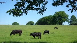
Cows on a hillside
-

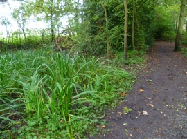
Pond, Longmoor Bog
-
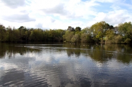
Longmoor Lake in California Country Park
-
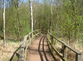
Everglades boardwalk
-

Geese by Longmoor Lake
-

Longmoor Lake in California Country Park
-
Bridleway turns right near Longmoor Lake
-
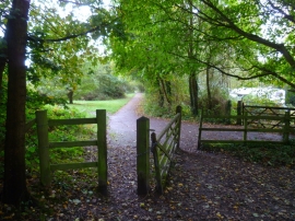
Bridleway passes pond north of Longmoor Lake