-
The Hollist Arms, Lodsworth, West Sussex
-

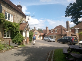
Junction of village lanes in Lodsworth
The Hollist Arms, Lodsworth, West Sussex
Junction of village lanes in Lodsworth
Other current and historical names
Location and coordinates are for the approximate centre of Lodsworth within this administrative area. Geographic features and populated places may cross administrative borders.