-
Beech trees lining Blandford Road
-

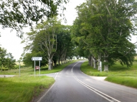
The B3082 through the Kingston Lacey beech avenue
Beech trees lining Blandford Road
The B3082 through the Kingston Lacey beech avenue
Location and coordinates are for the approximate centre of Locust Clump within this administrative area. Geographic features and populated places may cross administrative borders.