-
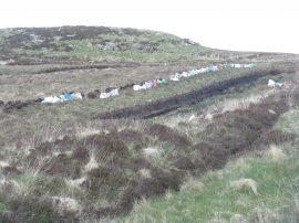
Ancient fuel, modern packaging
-

Moorland and plantation by the Abhainn Dhubh
Ancient fuel, modern packaging
Moorland and plantation by the Abhainn Dhubh
Location and coordinates are for the approximate centre of Loch nan Culaidhean within this administrative area. Geographic features and populated places may cross administrative borders.