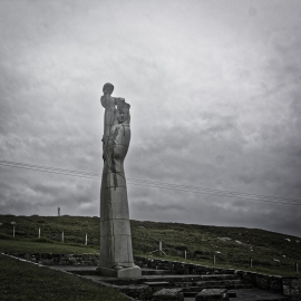
Loch Driomoir, Na h-Eileanan Siar

« Gazetteer Entry
Upload Photo

Loch Driomoir, Na h-Eileanan Siar

  • Unitary Authority: Na h-Eileanan Siar
  • Region: Scotland
  • Category: Water Feature
  • Type: Inland Water
  • Latitude/Longitude: 57°20'25"N 7°22'6"W
  • Eastings/Northings: 77141, 840512
  • OS Grid: NF771405
  • Mapcode Local: GBR 896B.1Q9
  • Mapcode Global: WGV3B.SRBQ

Location and coordinates are for the approximate centre of Loch Driomoir within this administrative area. Geographic features and populated places may cross administrative borders.

BritishPlaceNames.uk is a Good Stuff website.