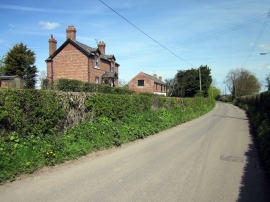
Little Mancot, Flintshire

« Gazetteer Entry
Upload Photo

Little Mancot, Flintshire

Other current and historical names

  • The Moor
  • Moor, The
  • Mancot, Little
  • Parish/Community: Hawarden
  • Unitary Authority: Flintshire
  • Region: Wales
  • Category: Populated Place
  • Type: Other Settlement
  • Latitude/Longitude: 53°11'28"N 3°0'42"W
  • Eastings/Northings: 332500, 366500
  • OS Grid: SJ325665
  • Mapcode Local: GBR 75.2T3M
  • Mapcode Global: WH88C.Q11T

Location and coordinates are for the approximate centre of Little Mancot within this administrative area. Geographic features and populated places may cross administrative borders.

BritishPlaceNames.uk is a Good Stuff website.