-
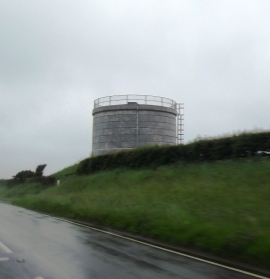
Storage Tower by the A477
-
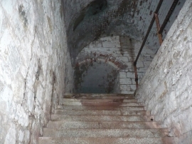
Scoveston Fort Interior
Storage Tower by the A477
Scoveston Fort Interior
Other current and historical names
Location and coordinates are for the approximate centre of Little Honeyborough within this administrative area. Geographic features and populated places may cross administrative borders.